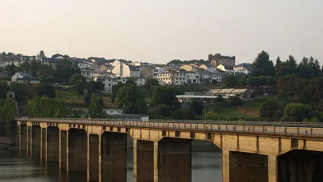
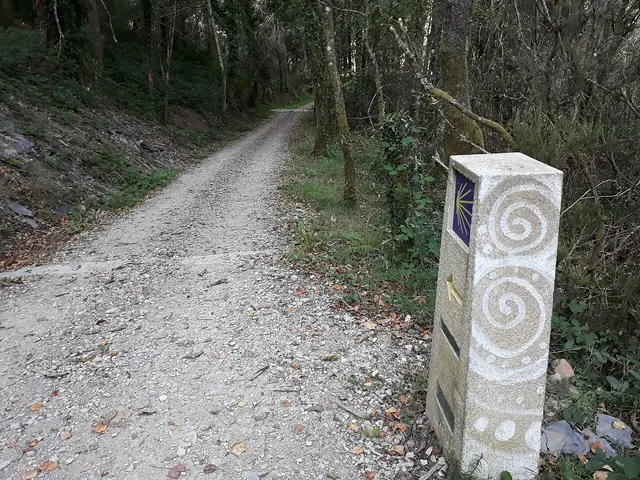
Portugal · Galicia
The Portuguese Camino, stage by stage
Second most walked; gentle and varied
The second most walked Camino: from Porto to Santiago inland or along the coast in ten to thirteen days, from Tui in five, or all the way from Lisbon. Stages, distances and how to choose.
- km
- 622
- usual days
- 24
- of climbing
- 7,066 m
- highest point
- 465 m
PeregriNeo data based on © OpenStreetMap contributors (ODbL) and Copernicus DEM GLO-30 elevations (© DLR e.V. 2010-2014 and © Airbus Defence and Space GmbH 2014-2018, EU and ESA).
The Portuguese Camino is the second most walked Camino after the Francés and, for many, the best one to start with: less mountain, great food on both sides of the border, and easy to choose your distance. From Lisbon it is about 622 km; from Porto around 244; from Tui, already in Galicia, about 119.
Elevation profile
The stages
| No. | Stage | Km | Up | Down | Difficulty | Tarmac |
|---|---|---|---|---|---|---|
| 1 | Lisboa to Alverca do Ribatejo | 32.0 | 95 m | 121 m | hard | 56 % |
| 2 | Alverca do Ribatejo to Azambuja | 28.8 | 41 m | 34 m | hard | 68 % |
| 3 | Azambuja to Santarém | 32.5 | 117 m | 20 m | hard | 57 % |
| 4 | Santarém to Golegã | 32.1 | 80 m | 164 m | hard | 47 % |
| 5 | Golegã to Tomar | 30.3 | 300 m | 269 m | very hard | 65 % |
| 6 | Tomar to Alvaiázere | 32.7 | 555 m | 300 m | very hard | 70 % |
| 7 | Alvaiázere to Rabaçal | 31.1 | 494 m | 629 m | very hard | 50 % |
| 8 | Rabaçal to Coimbra | 29.3 | 350 m | 499 m | very hard | 64 % |
| 9 | Coimbra to Mealhada | 23.0 | 193 m | 171 m | moderate | 81 % |
| 10 | Mealhada to Águeda | 25.9 | 212 m | 227 m | hard | 79 % |
| 11 | Águeda to Albergaria-a-Velha | 15.6 | 219 m | 134 m | easy | 79 % |
| 12 | Albergaria-a-Velha to São João da Madeira | 29.4 | 491 m | 382 m | very hard | 85 % |
| 13 | São João da Madeira to Porto | 35.3 | 537 m | 673 m | very hard | 93 % |
| 14 | Porto to Vilarinho | 26.0 | 252 m | 281 m | hard | 98 % |
| 15 | Vilarinho to Barcelos | 27.0 | 366 m | 386 m | hard | 84 % |
| 16 | Barcelos to Ponte de Lima | 33.8 | 436 m | 474 m | very hard | 88 % |
| 17 | Ponte de Lima to Rubiães | 17.9 | 465 m | 256 m | moderate | 41 % |
| 18 | Rubiães to Tui | 20.5 | 277 m | 459 m | moderate | 70 % |
| 19 | Tui to O Porriño | 17.3 | 138 m | 147 m | easy | 60 % |
| 20 | O Porriño to Redondela | 15.9 | 252 m | 269 m | easy | 82 % |
| 21 | Redondela to Pontevedra | 20.4 | 359 m | 347 m | moderate | 57 % |
| 22 | Pontevedra to Caldas de Reis | 21.2 | 188 m | 187 m | moderate | 59 % |
| 23 | Caldas de Reis to Padrón | 18.9 | 230 m | 248 m | moderate | 58 % |
| 24 | Padrón to Santiago de Compostela | 25.2 | 434 m | 185 m | hard | 78 % |
| Total | 622.1 | 7,066 m | 6,840 m | 70 % |
Distances and elevation measured on the route. Difficulty combines distance and climbing. PeregriNeo data based on © OpenStreetMap contributors (ODbL) and Copernicus DEM GLO-30 elevations (© DLR e.V. 2010-2014 and © Airbus Defence and Space GmbH 2014-2018, EU and ESA).
Ways to walk it
The whole route
From Lisboa to Santiago de Compostela: 622 km in 24 stages.
Caminos that link up here
- At Oporto the Portuguese Coastal Camino branches off towards Santiago de Compostela.
- The Camino de Torres joins at Ponte de Lima.
- The Variante Espiritual joins at Pontecesures.
- At Pontevedra the Variante Espiritual branches off towards Pontecesures.
When to go, difficulty and services
When to go
Difficulty
- easy 3 of 24 stages
- moderate 6 of 24 stages
- hard 8 of 24 stages
- very hard 7 of 24 stages
Longest: São João da Madeira → Porto, 35.3 km.
Most climbing: Tomar → Alvaiázere, 555 m.
Albergues and services
- albergues
- 418
- places to stay in all
- 1,683
- places to eat
- 5,740
- water fountains
- 451
- pharmacies
- 321
Longest stretch with no fountain or bar: 31.9 km. Carry water.
Three starting points
From Porto
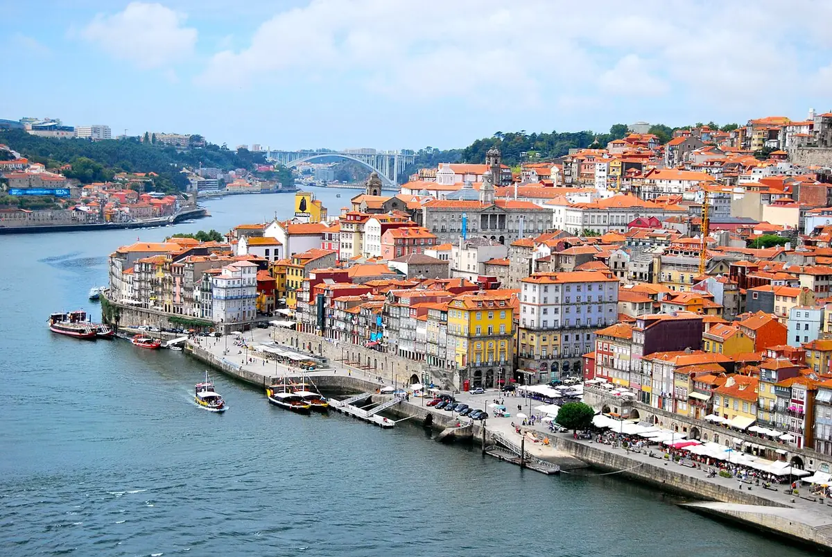
The most popular start in Portugal. Porto is worth a day before you set off. From its cathedral there are two routes: the Central, inland (Barcelos, Ponte de Lima, Valença), about 244 km in 10 to 12 days, and the Coastal, along the Atlantic, about 270 km in 11 to 13 days. They join at Redondela.
- Central: more pilgrims, more albergues, granite villages and vinho verde vineyards. Best for a first Camino.
- Coastal: boardwalks over the dunes, beaches, Viana do Castelo, a boat across the Miño, Baiona and Vigo. Longer days and more wind.
Many people leave Porto by metro to skip the long urban exit of the Central route.
From Tui
Tui, on the Spanish bank of the Miño, is the classic start for the Compostela on the Portuguese Camino: about 119 km in five or six days, through Redondela, Pontevedra, Caldas de Reis and Padrón.
From Lisbon
The full route, about 622 km and 24 to 28 days, through the Tagus valley, Santarém, Tomar, Coimbra and Porto. The Lisbon–Porto section is quieter and has fewer services.
What you will find
Cobbled Roman roads, stone crosses, granite villages and vineyards in Portugal; then Galicia, with Tui’s fortified cathedral, the Pontesampaio bridge, Pontevedra’s old town, the hot springs of Caldas de Reis and Padrón, where tradition says the boat carrying St James’s body arrived. The hardest climb is the Portela Grande de Labruja after Ponte de Lima: short but steep.
Practical tips
- Spain is one hour ahead of Portugal. Change your watch when you cross to Tui.
- Cash is useful in small villages, though cards are widely accepted.
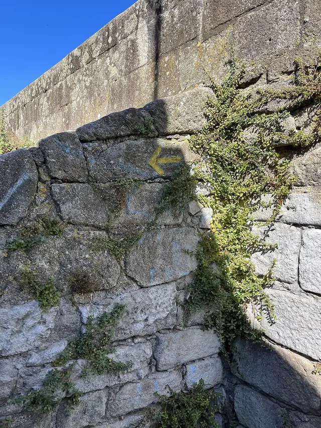
- Yellow arrows go in both directions in Portugal (blue ones point to Fátima): follow the yellow.
- Book in high season in Galicia, especially from Tui.
What to see
Places along the way, with a couple of lines from Wikipedia.
-
km 0
Elevador de Santa Justa
El elevador de Santa Justa o elevador do Carmo, es un ascensor que une los barrios de la Baixa Pombalina y el Chiado en Lisboa, Portugal.
Text from Wikipedia (es) · CC BY-SA 4.0
-
km 156
Sinagoga de Tomar
La sinagoga de Tomar es la mejor conservada de las sinagogas medievales de Portugal. Se encuentra ubicada en el centro histórico de la ciudad de Tomar, y alberga un pequeño museo judío.
Text from Wikipedia (es) · CC BY-SA 4.0
-
km 248
Capela de São Miguel
La capilla de San Miguel es la capilla de la Universidad de Coímbra.
Text from Wikipedia (es) · CC BY-SA 4.0
-
km 377
Centro Português de Fotografia
El Centro Portugués de Fotografía (cpf) es un museo, archivo y galería de fotografía que se encuentra en la ciudad de Oporto, en Portugal. Fue creado en 1997 por el Ministerio de Cultura de Portugal.
Text from Wikipedia (es) · CC BY-SA 4.0
-
km 484
Ponte de Rubiães
El Ponte de Rubiães (en español: Puente de Rubiães), también conocido como Ponte romana de Rubiães, es un puente romano sobre el río Coura.
Text from Wikipedia (es) · CC BY-SA 4.0
-
km 622
Casa do Deán
La Casa do Deán es un pazo, palacio del siglo XVIII situado en el centro histórico de Santiago de Compostela, Galicia, España.
Text from Wikipedia (es) · CC BY-SA 4.0
FAQ
How long is the Portuguese Camino from Porto?
About 244 km on the Central route and 270 km on the Coastal route, by our measurements.
How many days from Porto to Santiago?
Between 10 and 13 days depending on the route and your pace.
Central or Coastal: which is better?
The Central has more pilgrim atmosphere and services; the Coastal has the sea. Both are beautiful; you can also mix them.
Where do I start for the Compostela?
In Tui on the Central route (or Valença, just across the river), or in Vigo on the Coastal route, to cover the last 100 km. Collect two stamps a day on that stretch.
Plan this Camino at your own pace
Pick your start date, how far you want to walk each day and where to rest: PeregriNeo splits the stages for you, tells you when you will arrive and warns you about stretches with no water.