Nouvelle-Aquitaine · Navarra · La Rioja · Castilla y León · Galicia
The Camino Francés, stage by stage
The classic: most walked, most services
The French Way from Saint-Jean-Pied-de-Port to Santiago: the 32 reference stages with distance and elevation, what each section is like, how many days you need and the best months to walk it.
- km
- 768
- usual days
- 32
- of climbing
- 11,205 m
- highest point
- 1,512 m
PeregriNeo data based on © OpenStreetMap contributors (ODbL) and Copernicus DEM GLO-30 elevations (© DLR e.V. 2010-2014 and © Airbus Defence and Space GmbH 2014-2018, EU and ESA).
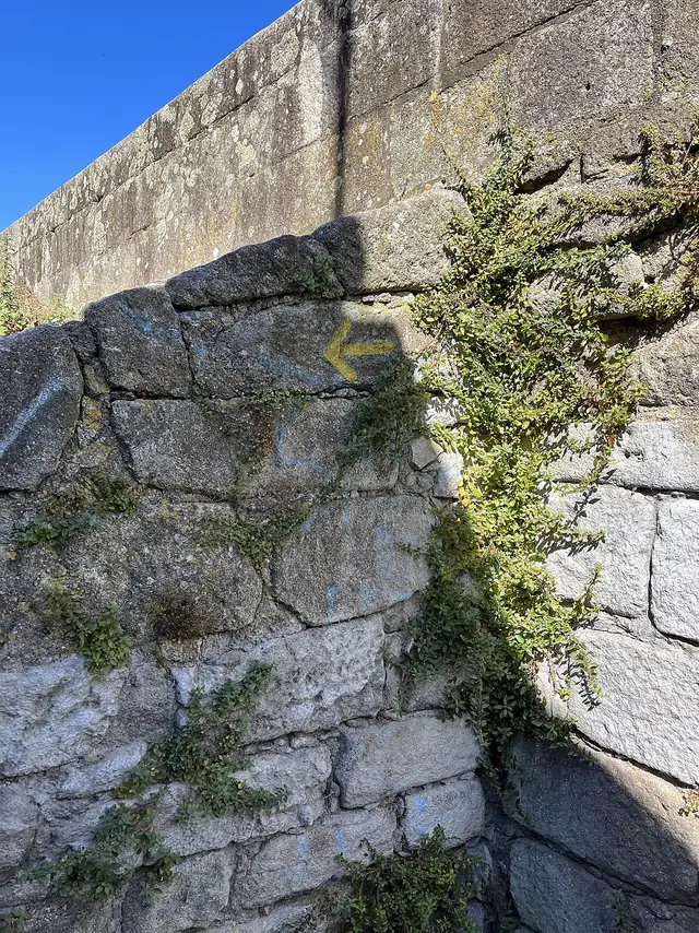
The Camino Francés (the French Way) is the Camino de Santiago most people picture. It crosses the Pyrenees into Spain, then Navarre, La Rioja, Castile and León and Galicia, reaching the cathedral after about 768 km. It is by far the most walked route, the best waymarked and the one with most albergues: our map shows 745 along the way. If it is your first Camino and you have the time, it is a safe bet.
Elevation profile
The stages
| No. | Stage | Km | Up | Down | Difficulty | Tarmac |
|---|---|---|---|---|---|---|
| 1 | Saint-Jean-Pied-de-Port to Orreaga / Roncesvalles | 24.1 | 1,339 m | 563 m | very hard | 58 % |
| 2 | Orreaga / Roncesvalles to Zubiri | 21.3 | 326 m | 737 m | moderate | 16 % |
| 3 | Zubiri to Pamplona / Iruña | 20.5 | 210 m | 285 m | moderate | 47 % |
| 4 | Pamplona / Iruña to Puente la Reina / Gares | 24.3 | 413 m | 517 m | hard | 38 % |
| 5 | Puente la Reina / Gares to Estella-Lizarra | 21.7 | 381 m | 309 m | moderate | 29 % |
| 6 | Estella-Lizarra to Los Arcos | 21.2 | 361 m | 331 m | moderate | 16 % |
| 7 | Los Arcos to Logroño | 27.7 | 385 m | 465 m | hard | 37 % |
| 8 | Logroño to Nájera | 29.0 | 379 m | 258 m | hard | 41 % |
| 9 | Nájera to Santo Domingo de la Calzada | 21.1 | 355 m | 203 m | moderate | 36 % |
| 10 | Santo Domingo de la Calzada to Belorado | 22.7 | 320 m | 196 m | moderate | 27 % |
| 11 | Belorado to San Juan de Ortega | 23.5 | 462 m | 223 m | hard | 8 % |
| 12 | San Juan de Ortega to Burgos | 25.6 | 149 m | 292 m | hard | 59 % |
| 13 | Burgos to Hornillos del Camino | 21.3 | 131 m | 170 m | moderate | 28 % |
| 14 | Hornillos del Camino to Castrojeriz | 19.9 | 179 m | 188 m | moderate | 14 % |
| 15 | Castrojeriz to Frómista | 24.6 | 214 m | 248 m | moderate | 14 % |
| 16 | Frómista to Carrión de los Condes | 18.8 | 93 m | 42 m | easy | 12 % |
| 17 | Carrión de los Condes to Terradillos de los Templarios | 26.4 | 114 m | 65 m | moderate | 15 % |
| 18 | Terradillos de los Templarios to El Burgo Ranero | 31.0 | 185 m | 186 m | hard | 20 % |
| 19 | El Burgo Ranero to León | 37.9 | 152 m | 189 m | very hard | 22 % |
| 20 | León to San Martín del Camino | 25.2 | 166 m | 141 m | moderate | 27 % |
| 21 | San Martín del Camino to Astorga | 22.9 | 172 m | 166 m | moderate | 26 % |
| 22 | Astorga to Rabanal del Camino | 20.3 | 309 m | 30 m | moderate | 28 % |
| 23 | Rabanal del Camino to Ponferrada | 32.5 | 528 m | 1,134 m | very hard | 21 % |
| 24 | Ponferrada to Villafranca del Bierzo | 23.3 | 253 m | 289 m | moderate | 74 % |
| 25 | Villafranca del Bierzo to O Cebreiro | 28.0 | 902 m | 116 m | very hard | 55 % |
| 26 | O Cebreiro to Triacastela | 20.9 | 251 m | 881 m | moderate | 20 % |
| 27 | Triacastela to Sarria | 17.8 | 335 m | 547 m | moderate | 50 % |
| 28 | Sarria to Portomarín | 22.2 | 446 m | 528 m | hard | 50 % |
| 29 | Portomarín to Palas de Rei | 25.0 | 521 m | 348 m | hard | 18 % |
| 30 | Palas de Rei to Arzúa | 28.8 | 521 m | 681 m | very hard | 47 % |
| 31 | Arzúa to O Pedrouzo | 19.3 | 322 m | 418 m | moderate | 23 % |
| 32 | O Pedrouzo to Santiago de Compostela | 19.3 | 342 m | 366 m | moderate | 65 % |
| Total | 768.1 | 11,205 m | 11,109 m | 32 % |
Distances and elevation measured on the route. Difficulty combines distance and climbing. PeregriNeo data based on © OpenStreetMap contributors (ODbL) and Copernicus DEM GLO-30 elevations (© DLR e.V. 2010-2014 and © Airbus Defence and Space GmbH 2014-2018, EU and ESA).
These are the 32 reference stages we use. They are a reasonable proposal, not a rule: hardly anyone walks them exactly like this. Most people split the longest ones, merge short ones once their legs are used to it, and add a rest day in a city.
Ways to walk it
The whole route
From Saint-Jean-Pied-de-Port to Santiago de Compostela: 768 km in 32 stages.
Caminos that link up here
- The Camino Aragonés joins at Puente la Reina.
- The Camino Baztanés joins at Trinidad de Arre (Pamplona).
- The Camino del Ebro joins at Logroño.
- At Ponferrada the Camino de Invierno (Winter Way) branches off towards Santiago de Compostela.
- The Camino de la Lana joins at Burgos.
- The Camino de Madrid joins at Sahagún.
- The Camino Olvidado joins at Ponferrada.
- At León the Camino del Salvador branches off towards Oviedo.
- The Camino Vadiniense joins at Mansilla de las Mulas.
- The Camino Vasco del Interior joins at Santo Domingo de la Calzada.
- The Vía de la Plata joins at Astorga.
Common variants
- Variante por Villar de Mazarife: 27.7 km, 3.5 km longer than the main route
- Variante por Ventosa: 2.3 km, 0.6 km longer than the main route
- Variante de la Calzada de los Hermanillos: 32.8 km, 0.7 km longer than the main route
- Variante por San Millán de la Cogolla: 34.2 km, 18.5 km longer than the main route
- Variante por Samos: 21.2 km, 4.8 km longer than the main route
- Variante por Valcarlos: 23.8 km, 1.2 km longer than the main route
When to go, difficulty and services
When to go
Spring (April to June) and autumn (September and October) are best: good temperatures, all albergues open and fewer crowds. July and August are hot on the Meseta and busy in Galicia. In winter many albergues close, days are short and there can be snow in the Pyrenees, O Cebreiro and the León mountains.
Difficulty
- easy 1 of 32 stages
- moderate 18 of 32 stages
- hard 8 of 32 stages
- very hard 5 of 32 stages
Longest: El Burgo Ranero → León, 37.9 km.
Most climbing: Saint-Jean-Pied-de-Port → Orreaga / Roncesvalles, 1,339 m.
Albergues and services
- albergues
- 745
- places to stay in all
- 1,880
- places to eat
- 4,615
- water fountains
- 925
- pharmacies
- 319
Longest stretch with no fountain or bar: 16.1 km. Carry water.
What the Camino Francés is like
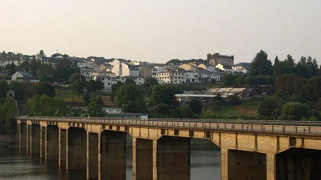
The beauty of the Francés is that it changes every few days. Mountains in the Pyrenees and beech woods in Navarre; vineyards in La Rioja; the wide-open Meseta of Castile with its huge skies; mountains again in León and El Bierzo; and finally green Galicia, all hamlets, oaks, chestnuts and drizzle. On the way there are three great cathedrals (Pamplona, Burgos and León), medieval bridges such as Puente la Reina and Hospital de Órbigo, and villages that exist because of pilgrims. UNESCO listed it as a World Heritage Site in 1993.
Section by section
The Pyrenees and Navarre (stages 1–6)
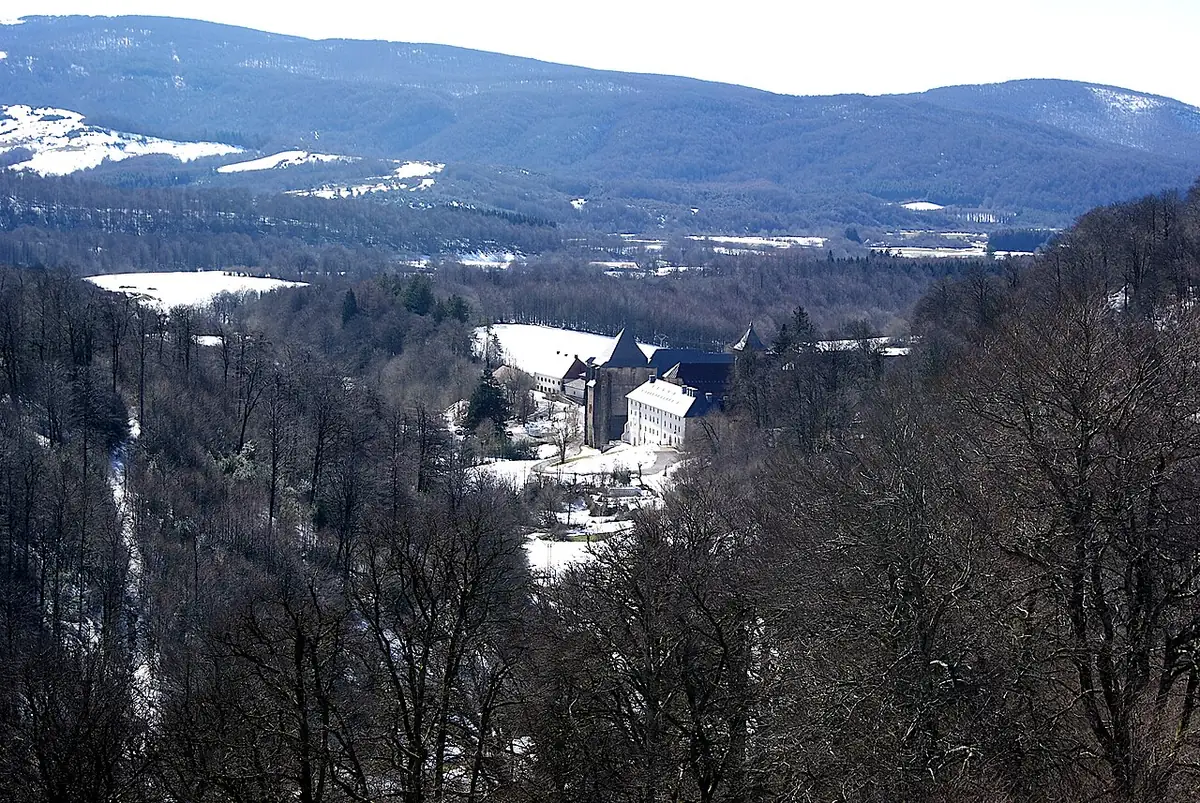
Stage one is the hardest of the whole Camino: from Saint-Jean-Pied-de-Port to Roncesvalles you climb over 1,300 m in about 24 km. The high Route Napoléon has huge views and few services; the Valcarlos variant follows the valley. In winter (usually 1 November to 31 March) the high route is closed and you must take Valcarlos. Then come Zubiri, Pamplona, the Alto del Perdón with its iron pilgrim silhouettes, and Puente la Reina’s Romanesque bridge.
La Rioja (stages 7–10)
Vineyards and red earth. Logroño is great for tapas on Calle Laurel. In Santo Domingo de la Calzada a hen and a rooster live inside the cathedral, a reminder of one of the Camino’s best-known legends.
Burgos and the Meseta (stages 11–19)
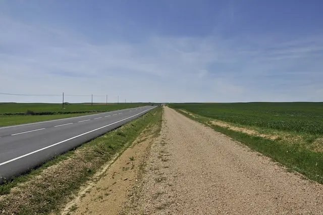
The Montes de Oca lead to Burgos and its Gothic cathedral. Then the Meseta: Hornillos, Castrojeriz, the Canal de Castilla at Frómista, Carrión de los Condes, Sahagún. Many people dread these days and many end up saying they were their favourites. Little shade: in summer, start before sunrise and carry plenty of water.
León and El Bierzo (stages 19–25)
León and its stained glass, Astorga and Gaudí’s palace, and the climb to the Cruz de Ferro, the highest point of the Francés at about 1,500 m, where pilgrims leave a stone brought from home. The descent to Molinaseca and Ponferrada is long and hard on the knees.
Galicia (stages 25–32)
The climb to O Cebreiro marks the entry into Galicia, and stone markers start counting down the kilometres. Triacastela, Samos, Sarria, Portomarín, Palas de Rei, Melide and its octopus, Arzúa and its cheese, O Pedrouzo, the Monte do Gozo and, at last, the Praza do Obradoiro.
How many days do you need?
Most people take 30 to 35 days from Saint-Jean-Pied-de-Port, including one or two rest days. If you don’t have a month, popular starting points along the way are León (306 km, two weeks), Ponferrada (205 km, nine or ten days), O Cebreiro (153 km, a week) and Sarria (115 km, five days), the most common start because it covers the 100 km needed for the Compostela. See the Camino from Sarria and how many days the Camino takes.
What to see
Places along the way, with a couple of lines from Wikipedia.
-
km 66
Iglesia de San Agustín
La iglesia de San Agustín es una iglesia parroquial del Casco Antiguo de Pamplona, en la Navarrería, Navarra.
Text from Wikipedia (es) · CC BY-SA 4.0
-
km 133
Iglesia de Santa María de los Arcos
La iglesia de Santa María de Los Arcos es templo religioso católico español situado en la localidad de Los Arcos (Navarra).
Text from Wikipedia (es) · CC BY-SA 4.0
-
km 367
Iglesia de Santiago
La iglesia de Santiago fue construida a mediados del siglo XII por el maestro Fruchel, lo más destacable del templo es su fachada occidental, de 1160, una de las más bellas del románico y ejemplo de referencia del estilo…
Text from Wikipedia (es) · CC BY-SA 4.0
-
km 470
Basílica de la Virgen del Camino
La Basílica Menor y Real Santuario de la Virgen del Camino se encuentra en la localidad de La Virgen del Camino, perteneciente al municipio de Valverde de la Virgen, en la provincia de León (España).
Text from Wikipedia (es) · CC BY-SA 4.0
-
km 587
Colegiata de Santa María
La colegiata de Santa María del Cluniaco, Coruniego o Cruñego sita en la localidad de Villafranca del Bierzo, en la comarca de El Bierzo tuvo sus orígenes en un monasterio benedictino erigido en el siglo XII, con…
Text from Wikipedia (es) · CC BY-SA 4.0
-
km 768
Casa do Deán
La Casa do Deán es un pazo, palacio del siglo XVIII situado en el centro histórico de Santiago de Compostela, Galicia, España.
Text from Wikipedia (es) · CC BY-SA 4.0
FAQ
How long is the Camino Francés?
About 768 km from Saint-Jean-Pied-de-Port to Santiago, by our measurements.
How many stages does the Camino Francés have?
We use 32 reference stages, but most pilgrims adapt them, walking 30 to 35 days.
Is the Camino Francés hard?
Physically it is a long walk rather than a mountain route: the hardest days are the first one over the Pyrenees, the Cruz de Ferro and O Cebreiro. The real challenge is walking day after day.
Where should I start the Camino Francés?
In Saint-Jean-Pied-de-Port for the whole route, or in León, Ponferrada, O Cebreiro or Sarria if you have less time.
Plan this Camino at your own pace
Pick your start date, how far you want to walk each day and where to rest: PeregriNeo splits the stages for you, tells you when you will arrive and warns you about stretches with no water.